What on Earth? Season 12
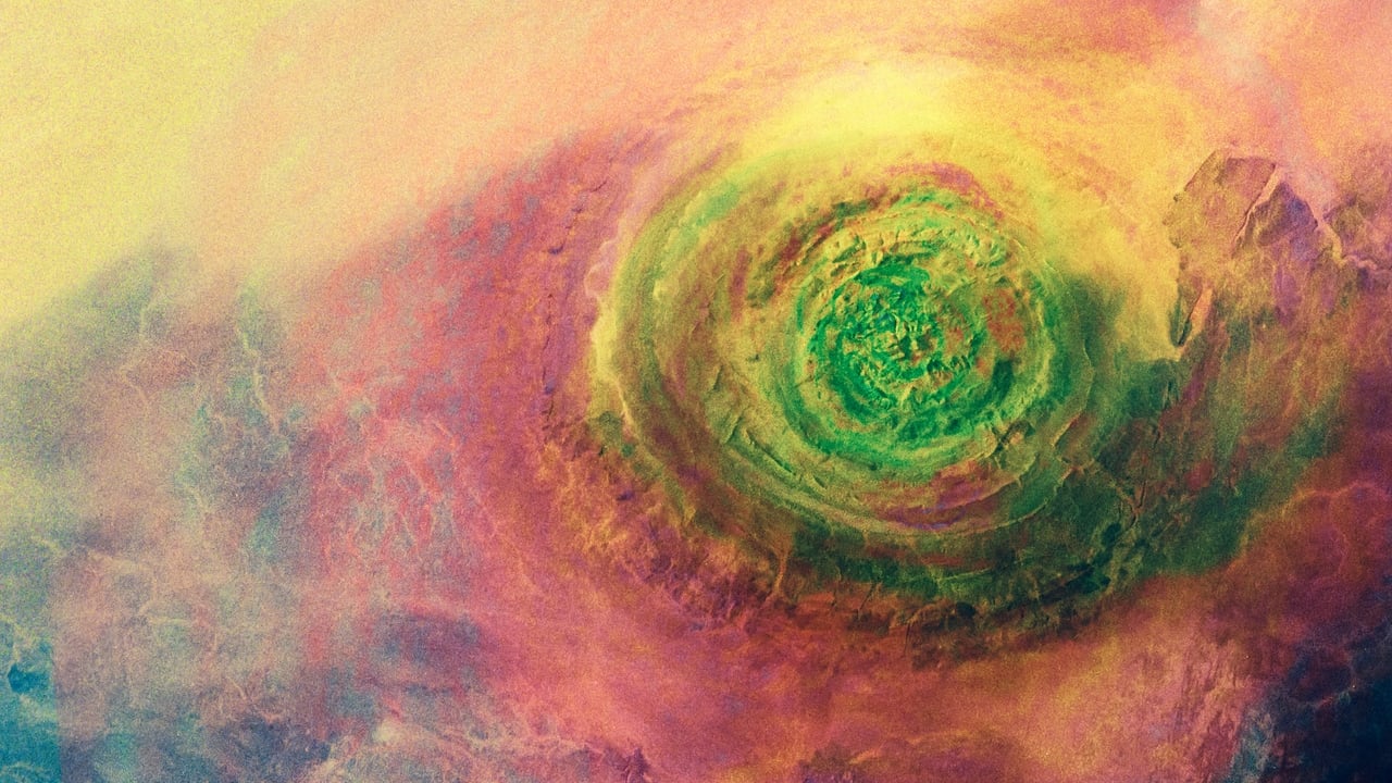
Satellites orbit Earth at 17,000 miles an hour, capturing images of our world that are breathtaking, but some are bizarre. This unique perspective reveals objects that seem to make no sense & phenomena that defy explanation. Such images force the question, what on Earth is that?
Watch NowWith 30 Day Free Trial!
What on Earth?
2015 / TV-14
Satellites orbit Earth at 17,000 miles an hour, capturing images of our world that are breathtaking, but some are bizarre. This unique perspective reveals objects that seem to make no sense & phenomena that defy explanation. Such images force the question, what on Earth is that?
Watch Trailer
With 30 Day Free Trial!
What on Earth? Season 12 Full Episode Guide
Aerial archaeologists capture a series of mysterious dots buried beneath the remote, frozen landscape of Finnmark, Norway; experts investigate and reveal revolutionary hunting techniques developed by the oldest surviving Norwegian tribe.
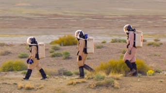
Satellite images capture a mysterious group of pyramid-shaped structures in the arid, desert landscape of Arizona; experts investigate a highly controversial research facility designed to prepare humanity for life on another world.
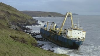
Satellite images reveal a mysterious vessel that suddenly appears marooned on a remote stretch of Ireland's southern coast; experts investigate and uncover a bizarre journey near the Bermuda Triangle that resulted in a US Coast Guard interception.
Satellite images capture an enormous X shape mysteriously carved with precision in the remote Nevada desert; experts investigate a military emergency landing field linked to one of the most astonishing test programs in aviation history.
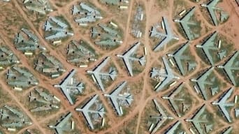
Satellite images capture miles of aircraft precisely arranged in the vast Arizona desert; experts investigate the largest aircraft storage facility on Earth and the rotting remains of a defining moment in Cold War history.
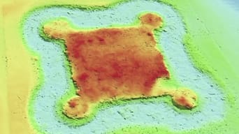
Satellite images capture a mysterious fortification concealed beneath a patch of woodland in the remote stretches of Norfolk, England; experts investigate rival royal families and a lost castle that was destroyed during a medieval blood feud.
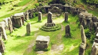
Aerial drone imaging captures a circular man-made structure that appears to be centuries-old in the remote forests of Aydin, Turkey; experts investigate a lost ancient amphitheater with a history steeped in gladiatorial bloodshed.
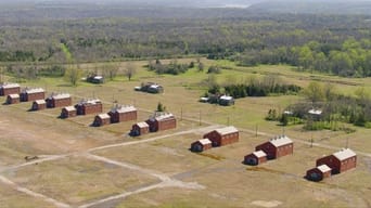
Satellite images capture a large compound of abandoned structures that are overgrown with vegetation in Indiana; experts investigate and uncover a derelict WWII munitions factory that played a crucial role in US military history.
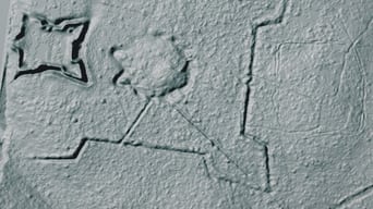
Aerial archaeologists use laser imaging to capture a distinct star-shaped pattern carved into the marsh of a Florida swamp; experts investigate and reveal a lost Civil War fort linked to an extraordinary community with a tragic past.
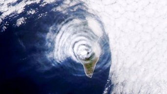
Satellite capture a bizarre pattern obscuring an eastern Atlantic island.
Free Trial Channels
Seasons


